Separate a landscape name from a destination
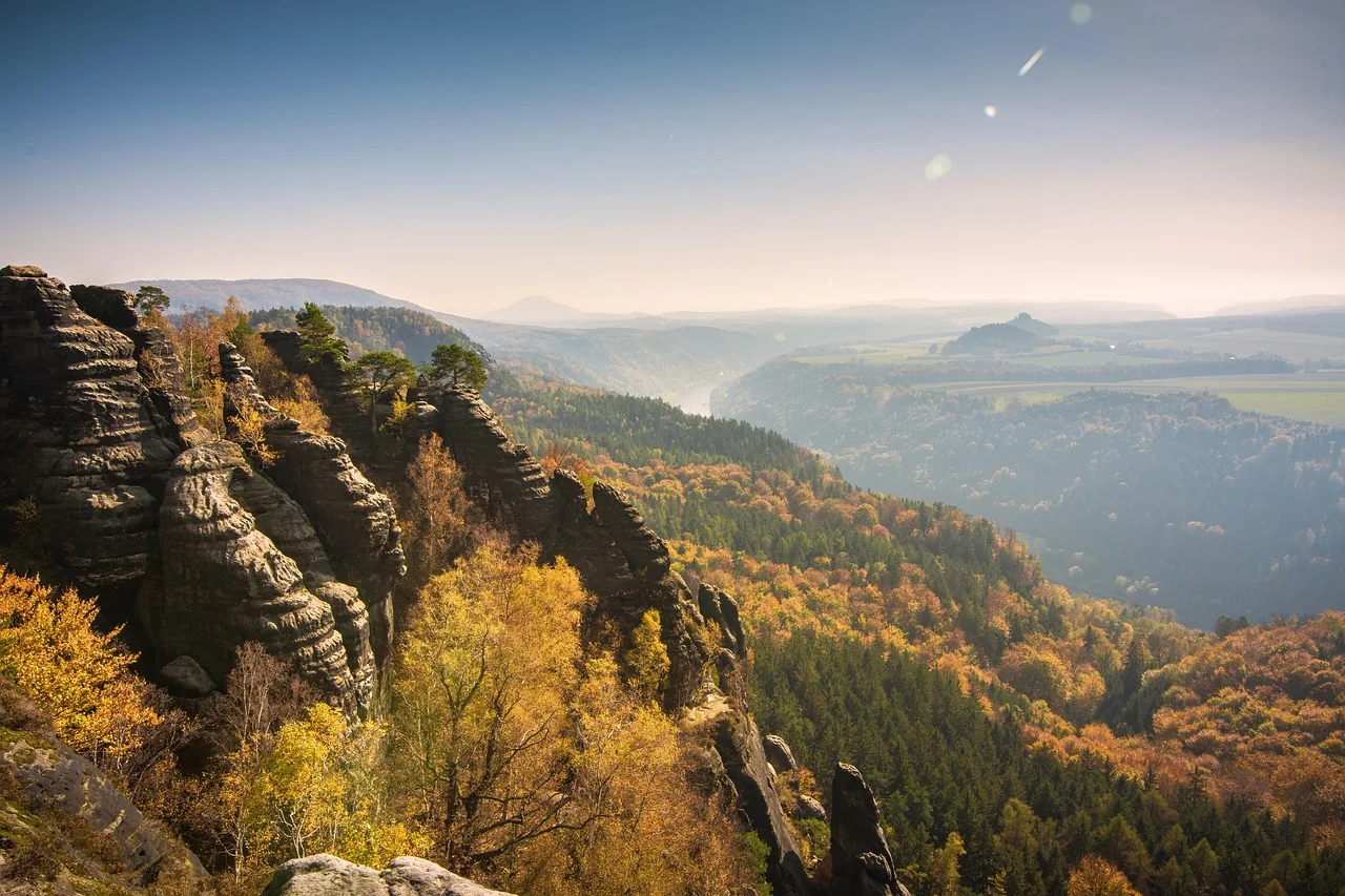
Schrammsteine refers to an extended rock group east of Bad Schandau. Schrammsteinaussicht is a particular viewpoint within it. Wanting to appreciate the landscape is not a reason to adopt the first route carrying the viewpoint's name.
Regional visitor information identifies the rock group and describes the overlook as reachable only by walking. This differs from a viewing area beside public parking. A short road connection on an arrival map says nothing about the subsequent ascent.
For an outing without an ambitious summit plan, make the decision beforehand: choose a suitable, fully understood walk or give the regional visit a less demanding focus. A recognised photograph creates no obligation to undertake its apparent approach.
Look behind route names
The official Wildschützensteig route description identifies metal stairs, ladders, and further protected passages. These are substantial selection criteria, not incidental details. They may matter much more than a distance that initially appears short.
Other panoramas nearby are not automatically straightforward alternatives. Visitor information describes steps and narrow sections on approaches to Carolafelsen, for example. Do not replace one name with another without checking its actual demands.
Read the entire route including the return and current notices. A broad initial woodland path may later become a different kind of terrain. Assessing the first section is not assessing the route shown on the map.
One person's decision not to use a ladder or exposed passage provides sufficient reason to choose differently. A day together should not depend on hoping a reluctant companion changes their mind at the difficult section.
Use local information to interpret the landscape
The sandstone scenery comprises more than one overlook. Information in Bad Schandau and national-park maps can help explain the rock group's relationship with the surrounding valleys. Ask local staff about a currently suitable option at your intended level.
State requirements specifically: no ladders, no exposed sections, a limited distance, or a return to the same starting point. Asking only for a beautiful walk can produce very different interpretations.
Follow an actually checked route rather than constructing a connection from visible tracks. Conservation rules and closures belong in the choice. Keep to permitted paths instead of entering the terrain for an unobstructed photograph.
Do not treat a photograph's tranquillity as evidence about access. Images remove much of the route leading to a viewpoint. The quiet composition may follow a walk that is entirely unsuitable for the day you want.
Allow a different ending
If no suitable walk matches your preferences and current conditions, give the regional outing another focus. This is not an incomplete ascent; it follows from separating interest in a landscape from the demands of a particular path.
Leave a more demanding objective for another occasion with appropriate preparation if desired. You do not have to cover the Schrammsteine in one visit, and reaching one viewpoint does not measure the quality of time spent together.
Sources & current information
Opening hours, connections and conditions can change. Consult official sources before travelling and follow local notices.